[ad_1]
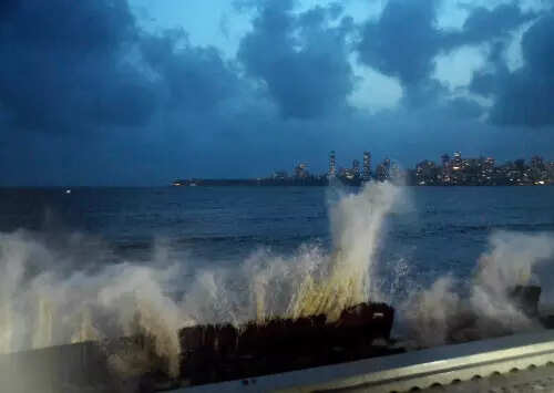
With the cyclone barrelling towards the Gujarat coast, parts of the Saurashtra-Kutch region received heavy rains accompanied by strong winds.
Nine talukas in Devbhumi Dwarka, Jamnagar, Junagadh, Porbandar and Rajkot districts received more than 50 mm of rainfall in the 24 hours by Wednesday.
What IMD says
IMD said Biparjoy would make landfall as a very severe cyclonic storm with wind speed ranging from 125-135 kmph, gusting to 145 kmph on Thursday.
Cyclone Biparjoy is completely detached, IMD said earlier, from the monsoonal flow. This means the cyclone will not have any negative impact on the monsoon that arrived quite late this year.
IMD has issued red alert for Kutch and Saurashtra regions.
Beyond Gujarat
Weather experts predict that the cyclone, losing intensity after making landfall, will move as a depression over south-southwest Rajasthan before moving northeast.
The cyclone will bring heavy rainfall also in Rajasthan, Punjab, Haryana, New Delhi and Uttar Pradesh in the next four days.
By June 18-19, the depression will be closer to Delhi, Punjab, Haryana, and northwest Uttar Pradesh — these places will receive light to moderate rainfall, with higher than usual wind speed.
Is Gujarat ready?
Authorities have evacuated 50,000 people from vulnerable areas of Gujarat in a massive operation, and deployed disaster management personnel for relief and rescue measures.
Senior Union ministers Rajnath Singh and Mansukh Mandaviya, and Gujarat CM Bhupendra Patel reviewed the preparedness separately.
Kutch is likely to be the worst-affected region. The government has evacuated people living in villages within 10-km radius of the coast.
Eighteen teams of NDRF, 12 of SDRF, 115 of state road and building department, and 397 of the state electricity department have been deployed in different coastal districts.
#Cyclone #Biparjoy #impact #India #India #News